Our Solution Range

Engineering Surveying

Land Surveying
Monitoring surveying
Aerial Mapping
GIS Solutions
Infrastructure Surveying
Pipelines Surveys
Construction Surveys
Mining Surveys
Topographic Surveys & Contour Mapping
Planning & Land Division Services
Geodetic & Control Surveys
Remote Sensing
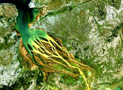
Remote sensing is defined as “the acquisition of information about an object or phenomenon without making physical contact with the object and thus in contrast to on-site observation, especially the Earth”. SEMA Surveyors, through strategic partnerships with Remote Sensing Service Providers, is delivering innovative geomatics solutions in Satellite Imagery, Digital Aerial Photography and Oblique Aerial Photography. Our experience and ability to combine and integrate remote sensing survey products with engineering and cadastral survey products enables us to deliver an unsurpassed geomatics solution to our clients, whilst discounting both time and cost on their projects.

Photogrammetry & Drone Mapping
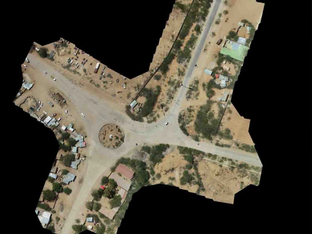
The use of drones involves technology which is well established at present and continually developing. SEMA Surveyors lay the foundation to support reliable planning, design, and construction work across a wide range of industries. Our advanced geospatial technology solutions deliver survey and mapping data and insights, even in the most complex urban environments or in challenging terrain. The result is a clean, accurate 3D digital dataset optimized for 3D modeling within client workflows. Our ability to scale resources, national presence, and dedicated project management ensure that quality deliverables are completed in a timely matter.

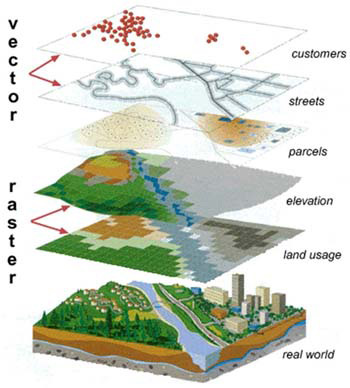
GIS Solutions
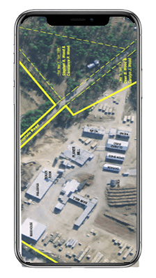
SEMA Surveyors understands that an effective GIS begins with quality data. We bring the high standards of land surveying to our GIS collection efforts. This means we help our clients perform GIS data collection that is based on a solid foundation of good survey control, that obtains accurate attribute data, and that produces useful metadata. This commitment to high-quality GIS data collection means your GIS can be used confidently by your organizations decision makers. We package GIS data in all ESRI Formats, i.e., Personal Geodatabase (PGDB), File Geodatabase (FGDB) and Shapefiles (SHP) and the conventional CAD formats. Through the project stages, SEMA Surveyors performs, GPS Data Collection, Maintenance & Data Support, and Mapping & Data Analysis.
