Land Surveying
Topographic Surveys & Contour Mapping
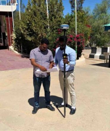
SEMA Surveyors provide topographic mapping services that supports engineers and
consultants in designing roads, infrastructure and building projects. The topographic
survey services help in route planning, thematic data preparation, and decision making for telecom and transport services and disaster management as Our services
include creating comprehensive topographic maps and 3D maps to the specified
projection parameters, including generating contours. Our survey records all features
visible above the ground including the position of the street furniture, road lines,
buildings, services, contours, embankments, vegetation etc.
We are using latest
surveying equipment for our projects including RTK GNSS systems, Drones, Total
Stations, levels, etc.
A civil engineer studies the contours and finds out the nature of the ground to identify
suitable site for the project works to be taken up. By drawing the section in the plan,
it is possible to find out profile of the ground along that line. It helps in finding out
depth of cutting and filling if formation level of road/railway is decided. Intervisibility
of any two points can be found by drawing profile of the ground along that line. The
routes of the railway, road, canal, or sewer lines can be decided to minimize and
balance earthworks. This study is very important in locating bunds, dams and to find
out flood levels.
Planning & Land Division Services
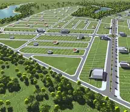
SEMA Surveyors can carry out planning and subdivision designs in all matters of parcel divisions in accordance with local governments and development by-laws. SEMA Surveyors can also handle preliminary presentations, reports, and applications in dealing with cities and municipalities. Our team also offers consultations on public and private lands/common good use and designing alternatives for a smart cities.
Underground Utility Mapping
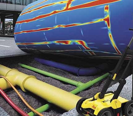
Underground Utility Mapping accurate mapping of the utility services below ground level. Imprecise data or information on underground utility services (electrical, water, sewage, fiber, etc.) directly affects delays, conflicts, and interruptions in services, all of which have stern contractual implications. Utilizing GPR (Ground Penetrating Radar) and EML (Electro-Magnetic Locating) techniques, Information is presented in digital format as required (AutoCAD .dwg/.dxf in 2D or 3D). All Utility Surveys are provided with a report that specifically references survey methods, findings and any limitations found on site. Any recommendations for further investigations later are also included.
Geodetic & Control Surveys
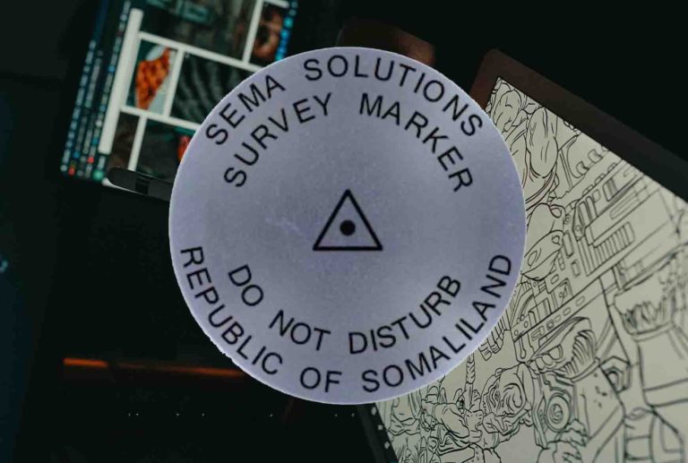
Understanding project datums, known controls, accuracy requirements, and acceptable methods to achieve the clients’ expectations are all critical in planning, establishing, and producing control. SEMA Surveyors understands the importance of solid and repeatable control that meet project requirements. We establish geodetic and control networks which consist of different orders of accuracy, tying together by extremely accurate observations. The control stations can be adjusted to millimeter accuracy, which allows for precise stations to be in place throughout the construction activities. The control network can be produced using conventional methods such us Total Stations, traverse methods, Least Square calculations, triangulations and trilateration or satellite surveying by processing GPS observations in either kinematic or static mode.
