Infrastructure Surveying
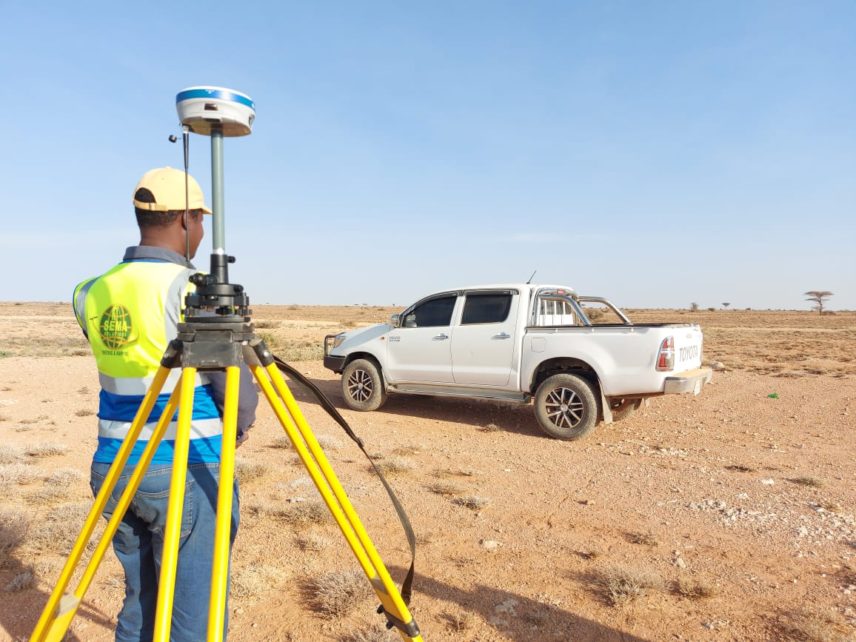
Rail and Road infrastructure surveys can be provided as part of a larger Topographical Survey or surveyed specifically for highway or rail improvement. SEMA Surveyors provide a range of survey services used in conjunction with the planning, designing and construction phases of roads, bridges, tunnels, and other public infrastructure projects.

Pipelines Surveys
SEMA Surveyors team is qualified to carry out pipeline surveys to strengthen the absolute position and alignment of the pipeline. Using a mixture of conventional and modern survey techniques, our experienced surveyors can successfully help install pipelines from excavation through installation, to final burial and reporting. Our experienced surveyors can control a variety of pipelay guidance programs. By maintaining a robust control system through daily position and equipment checks, our surveyors output a guidance system which follows steadily close to the design position.

Building & Construction Surveys
Generally, the objective of these surveys is to acquire enough and definite survey data to provide accurate and real-time data to confirm that the construction project and associated ancillary works are constructed within design tolerances and according to the project budget. SEMA Surveyors provides surveying services for small to large size construction projects including residential developments, warehouses, and commercial buildings.
As-Built Surveys
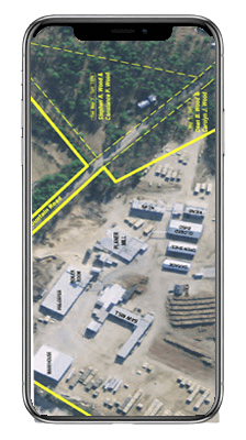
As-built Surveys comprise the collection of sufficient and accurate information of an existing structure in order to represent the structure in a digital 2D or 3D CAD environment. An as-built survey is normally performed to compare the position and dimension of a constructed feature compared to its designed dimensions and position. As-built surveys form a vital part of the quality control in any construction project. As-built survey reports are sometimes resorted to as and when some issue regarding contractual obligations arise.

Volumetric & Earthworks Surveys
A volumetric survey is merely an application of topographical surveys to accurately
quantify the volume of specific material removed or hauled at a location. It
fundamentally serves that in most cases a “before” and “after” topographical
survey would need to be conducted to accurately calculate the difference in volume
of material which was either removed or placed.
The survey acquisition methodology we employ can comprise any of the following
survey technologies in isolation or in combination depending on the specific nature,
size, site conditions and imposing factors such accessibility, safety etc., together
with budget and time considerations:
• Conventional Ground Surveys using either GPS or Total Station Survey
Equipment.
• Remote Sensing Surveys using either Satellite Imagery (repetitive), Digital Aerial
photography & LiDAR surveys (fixed wing aerial platforms), or UAV
photogrammetric surveys (Drones).
Mining Surveys
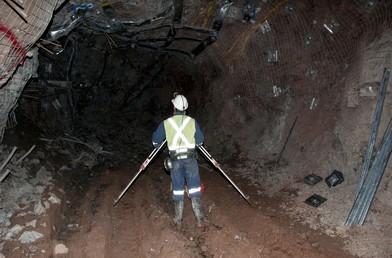
Mine Surveying comprises all survey measurements and mapping which serve to establish and formally record geospatial information in all stages – from the initial exploration to the actual mining and the eventual closure and rehabilitation – of mineral deposits by both surface and/or underground working. This information is critical in the design, planning, statutory compliance, and safety of all mining operations. SEMA Surveyors provide mining surveying service, from data gathering to design and implementation.
