

workflows alongside drone achievement GIS solutions


" YOUR PARTNER IN SURVEYING "
SERVICES

Engineering Surveying
Mining Surveys , Volumetric & Earthworks Surveys , As-Built Surveys , Building & Construction Surveys , Pipelines Surveys ,
infrastructure Surveying.

Land Surveying
Geodetic & Control Surveys , Underground Utility Mapping , Planning & Land Division Services , Topographic Surveys & Contour Mapping

Monitoring Surveying
Building settlement monitoring - Structural settlement survey , Bridges, Dams, Tunnels, and Retaining walls settlement survey ...

Aerial Mapping & Remote Sensing
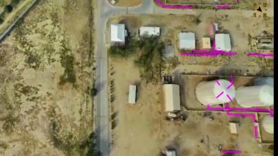
Remote Sensing with geomatics solutions in Satellite Imagery, Digital
Aerial Photography and Photogrammetry & Drone Mapping with accurate 3D digital dataset optimized for 3D modeling.

GIS Solutions
We package GIS data in all ESRI Formats, Personal Geodatabase , File Geodatabase and Shapefiles with conventional CAD formats. Through the project stages, we perform, GPS Data Collection

April 19, 2022. 1:40 PM
Balli-cabane road
Location : balicabane-ethiopia, client: ballay-cabane community intuitive

April 19, 2022. 1:37 PM
Hargeisa Road N.1
location :hargeisa,somaliland , client : somaliland presidential office

April 19, 2022. 1:36 PM
Berbera-bur’o Road rehabilitation
location: berbera-bur’o , Client : SDF(Somaliland development fund)
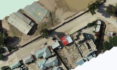

April 19, 2022. 1:32 PM
Oodwayne -bur’o Road
Location : oodwayne-somaliland , client :Ministry of transportation

April 19, 2022. 1:30 PM
Berbera oil terminal
location : berbera,somaliland , client : trafigura, switzerland
Inspiring brochure ! that briefly covers our entire company profile
Sign up and subscribe to our newsletter
We respect your privacy and do not tolerate spam


